
Landslide Susceptibility Mapping: A Case Study in Thenmala Sub-Watershed, Southern Western Ghats, India
Keywords:
GIS, India, landslide hazard zonation, mountainous regions, slopeAbstract
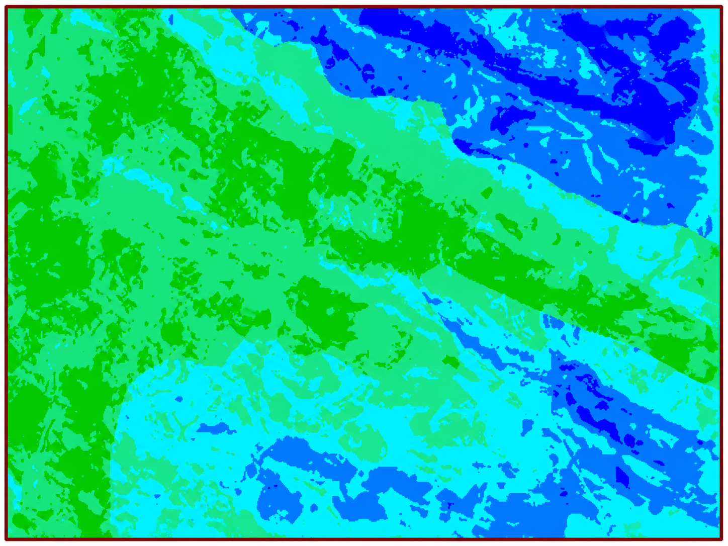
The study intended to evaluate the landslide susceptibility in sub-watershed area with contrasting structural elements in the southern Western Ghats, Kerala India, using remote sensing and GIS techniques. In order to model landslide susceptibility, data from various sources, such as, topographical maps, geological data and satellite images were collected and processed to generate a spatial database in a GIS platform. As landslides are influenced by several environmental determinants, different factors, such as slope, distance from drainage segments, lithology, distance from lineaments, land use/land cover, and precipitation distribution, should be considered for the analysis. Further, landslide locations of the study area could be identified from satellite images and field survey. The main objective of the study was to describe the association between landslide and landslide conditioning factors for Thenmala sub-watershed regions using the weights-of-evidence method and to create landslide susceptibility map of the study area. Landslide locations were used to validate the results of the landslide susceptibility map. Hence, the study has special significance with respect to the planning and management of mountainous landscapes in the State of Kerala.
References
[1] R. Fell, J. Corominas, C. Bonnard, L. Cascini, E. Leroie and W. Z. Savage (2008). Guidelines for landslide susceptibility, hazard and risk zoning for land use planning. Eng. Geol., 102: 85-98.
[2] B. A. Bolt, W. L. Horn, G. A. Macdonald and R. F. Scott (1975). Geological Hazard: earthquakes, tsunamis, volcanoes, avalanches, landslides, floods, Springer Verlog, New York, ISBN-9783642868221.
[3] C. J. van Westen, E. Castellanos and S. L. Kuriakose (2008). Spatial data for landslide susceptibility, hazard, and vulnerability assessment: An overview. Eng. Geol., 102: 112-131.
[4] S. Lee and B. Pradhan (2006). Probabilistic landslide risk mapping at Penang Island, Malaysia. J. Earth Syst. Sci. 115: 661-672.
[5] B. Pradhan , H-J. Oh and M. Buchroithner (2010). Weights of-evidence model applied to landslide susceptibility mapping in a tropical hilly area. Geomat. Nat. Haz. Risk, 1: 199-223.
[6] S. Sughanti and K. Srinivasan (2010). Digital elevation model generation and its appilication in landslide studies using Cartosat -1. Int. J. Geormatics and Geosciences. 1: 41-50.
[7] A. Sharma and P. Singh (2014). 15th Esri India User Conference.
[8] A. K. Pachauri and M. Pant (1992). Land slide hazard mapping based geological attributes. Eng. Geol., 32: 81-100.
[9] M. K. Arora, A. S. D. Gupta and R. P. Gupta (2004). An artificial neural network approach for landslide hazard zonation in the Bhagirathi (Ganga) Valley, Himalayas. Int. J. Remote Sens., 25: 559-572.
Downloads
Published
Issue
Section
License
Copyright (c) 2016 Author (s)

This work is licensed under a Creative Commons Attribution-NonCommercial-NoDerivatives 4.0 International License.
Copyright © The Author(s). This is an open access article distributed under the terms of the Creative Commons Attribution-NonCommercial-NoDerivatives 4.0 International License (CC BY-NC-ND 4.0), which permits unrestricted non-commercial use, distribution, and reproduction in any medium, provided the original author(s) and source are properly credited, and the work is not modified or adapted.